


 市区电力交通网
Maps
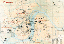
平壤
 |
Scheme of electric transport 九月 2024 年 |
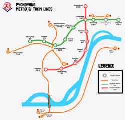 |
Схема линий метро и трамвайных маршрутов Пхеньяна. 8 两月 2024 年 |
 |
https://en.wikipedia.org/wiki/Pyongyang_...ram.svg 19 一月 2024 年 |
 |
Alek Sigley https://tongiltours.com/north-korean-app...le-maps 20 四月 2019 年 左右 |
 |
Схема троллейбусных линий 2018 年 |
 |
Схема трамвайных линий 2018 年 |
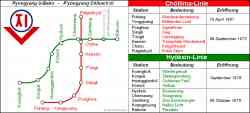 |
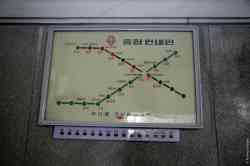
Схема метро 2012 年 |
 |
Chŏllima Line (천리마선) — Puhŭng Station (부흥)) Станция метро "Пухын" [Puhŭng Station] 10 九月 2011 年 |
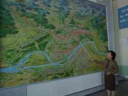 |
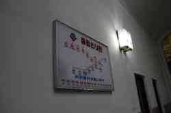
Музей метрополитена [Metro museum] 23 九月 2008 年 |
 |
Станция метро "Кэсон" [Kaesŏn Station] 五月 2006 年 |
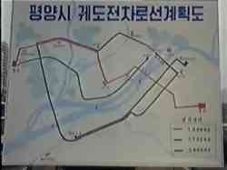 |
This map is quite poor in resolution, but reveals valuable plans about the original network. 1991 年 |
 |
Historical photos — Trolleybus (1962-1991) Туристическая схема Пхеньяна с маршрутами городского пассажирского транспорта. 五月 1989 年 |
 |
Historical photos — Electric tramway (1923-1950) Pyongyang tramway lines as of 1946 (3,19 MB) 1946 年 |
 |
Historical photos — Electric tramway (1923-1950) Yet another map of the legacy tram. Original source unknown. 1940 年 或更早 |
 |
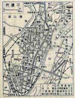
Historical photos — Electric tramway (1923-1950) Карта Пхеньяна периода Японской администрации. 十二月 1935 年 左右 |
深色主题
不允许未经过作者允许使用网站上的图片。.