 Elektrinis miestų viešasis transportas
Maps
San Francisco Bay Area
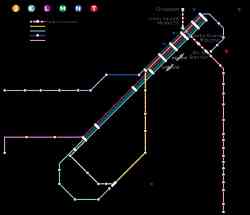 |
Map of Muni Metro subway/light rail/streetcar system in San Francisco, showing Central Subway tunnel (under construction as of 2016) and revised routing for T-Third. 2016 m. kovo 20 d. |
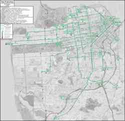 |
2014 m. sausio 1 d. |
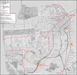 |
Схема рельсового транспорта 2014 m. Sausis |
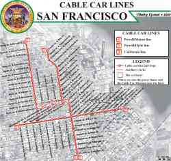 |
Cable Car Lines 2009 m. |
 |
Схема начала 1990х, из личной коллекции 1994 m. |
 |
San Francisco Muni Street and Transit Map (1982) 1982 m. |
 |
Ride the Muni: Street Map and Transit Map of San Francisco (08.1976) 1976 m. Rugpjūtis |
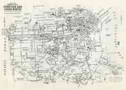 |
Схема городского транспорта. 1972 m. |
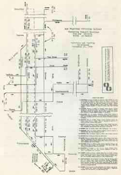 |
Планируемая маршрутизация троллейбуса в центральной части города, к северу от Маркет стрит. 1970 m. lapkričio 16 d. |
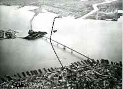 |
Location of the Transbay Tube. Photo: Bethlehem Steel Corp. 1966 m. balandžio 16 d. |
 |
Market Street Railway Company Map of San Francisco: City-Wide Service by White Front Cars and Coaches (1941) 1941 m. |
 |
Market Street Railway Map of San Francisco: City-Wide Service by White Front Cars (March 15, 1939) 1939 m. kovo 15 d. |
 |
Complete Map of the Market Street Railway's City Wide Service (1934) 1934 m. |
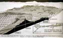 |
Открытие тоннеля Twin Peaks 1918 m. vasario 3 d. |
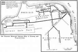 |
San Francisco Municipal Railway — map of existing and proposed lines 1913 m. |
 |
Map of the City of San Francisco Showing the Lines of the United Railroads of San Francisco 1913 m. |
 |
Map of the United Railroads of San Francisco 1908 m. |
 |
Map of San Mateo extension of the United Railroads of San Francisco 1903 m. |
Tamsi tema
Nuotraukų ir kito publikuojamo tinklapyje turinio naudojimas galimas tik gavus turinio autorių sutikimą.


