


 市区电力交通网
Historical photos (오래된 사진) — Tramway
首尔
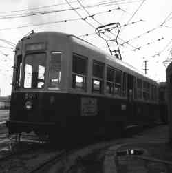 |
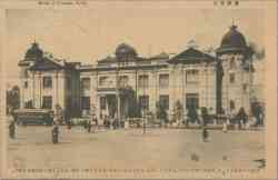
Author: 서울특별시 14 十一月 1960 年 |
 |
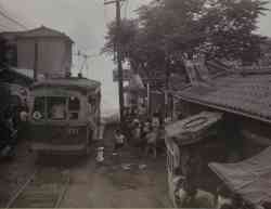
由USAG- Humphreys,CC BY-SA 2.0, 六月 1950 年 |
 |
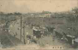
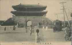
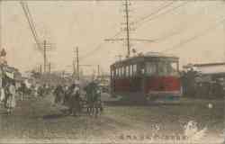
Seoul tram 511 at Dongdaemun 1950 年 左右 |
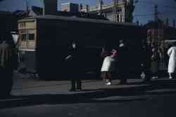 |
Public domain 1949 年 |
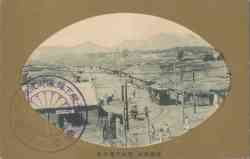 |
Expired copyright 19 十月 1940 年 或更早 |
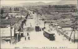 |
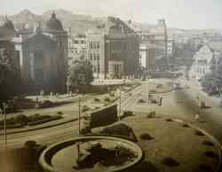
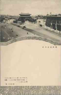
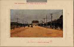
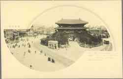
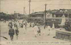
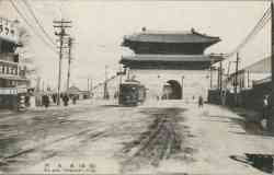
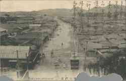
Todaimon Street 1940 年 或更早 |
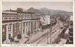 |
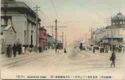
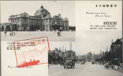
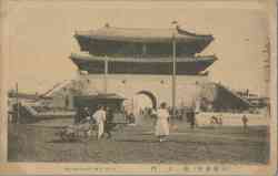
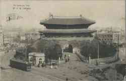
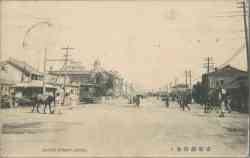
Nandaimon Street 1940 年 或更早 |
 |
Nandaimon Street 1940 年 或更早 |
 |
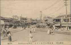
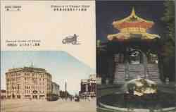
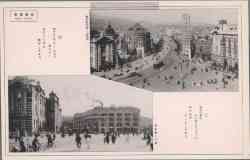
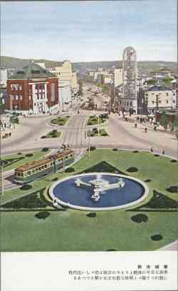
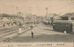
Koganemachi Street 1940 年 或更早 |
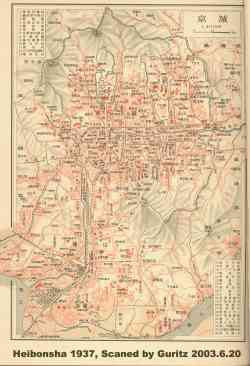 |
Heibonsha — 1937 Map of Keijo (now Seoul) 1937 年 |
 |
Expired copyright 提供照片用户: Gamerdgl |
 |
Expired copyright 提供照片用户: Gamerdgl |
 |
Expired copyright 提供照片用户: Gamerdgl |
 |
Expired copyright 提供照片用户: Gamerdgl |
 |
Expired copyright 提供照片用户: Gamerdgl |
 |
Expired copyright 提供照片用户: Gamerdgl |
 |
Expired copyright 提供照片用户: Gamerdgl |
 |
Expired copyright 提供照片用户: Gamerdgl |
 |
Expired copyright 提供照片用户: Gamerdgl |
 |
Expired copyright 提供照片用户: Gamerdgl |
 |
Expired copyright 提供照片用户: Gamerdgl |
 |
Expired copyright 提供照片用户: Gamerdgl |
 |
Expired copyright 提供照片用户: Gamerdgl |
 |
Expired copyright 提供照片用户: Gamerdgl |
 |
Expired copyright 提供照片用户: Gamerdgl |
 |
Expired copyright 提供照片用户: Gamerdgl |
 |
Expired copyright 提供照片用户: Gamerdgl |
 |
Expired copyright 提供照片用户: Gamerdgl |
 |
Expired copyright 提供照片用户: Gamerdgl |
深色主题
不允许未经过作者允许使用网站上的图片。.