


 Pilsētas elektrotransports
Maps and Plans
Boston
 |
Aprīlis 2013 g. |
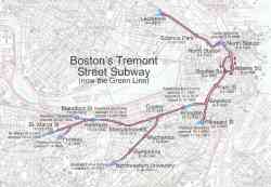 |
Схема первой подземки США с датами открытия. Public Domain. Источник: http://en.wikipedia.org/wiki/File:Tremont_Street_Subway.jpg 2005 g. |
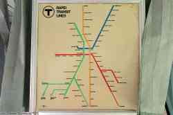 |
1965 g. |
 |
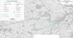
Eastern Massachusetts 1913 g. |
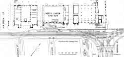 |
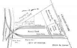
Plan of Causeway Street Station adjacent to the North Union Station 1913 g. |
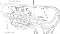 |
Plan of track layout at Sullivan Square Station 1913 g. |
 |
Map of the Boston Elevated Railway Co. system 1908 g. |
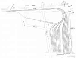 |
New Sullivan Square elevated storage yard of the Boston Elevated Railway Novembris 1907 g. |
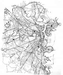 |
Map of the Boston, showing lines of the West End Street Railway Co. 1895 g. |
Dark Theme
Vietnē publicēto fotogrāfiju un citu materiālu izmantošana ir atļauta tikai ar viņu autoru atļauju.